En
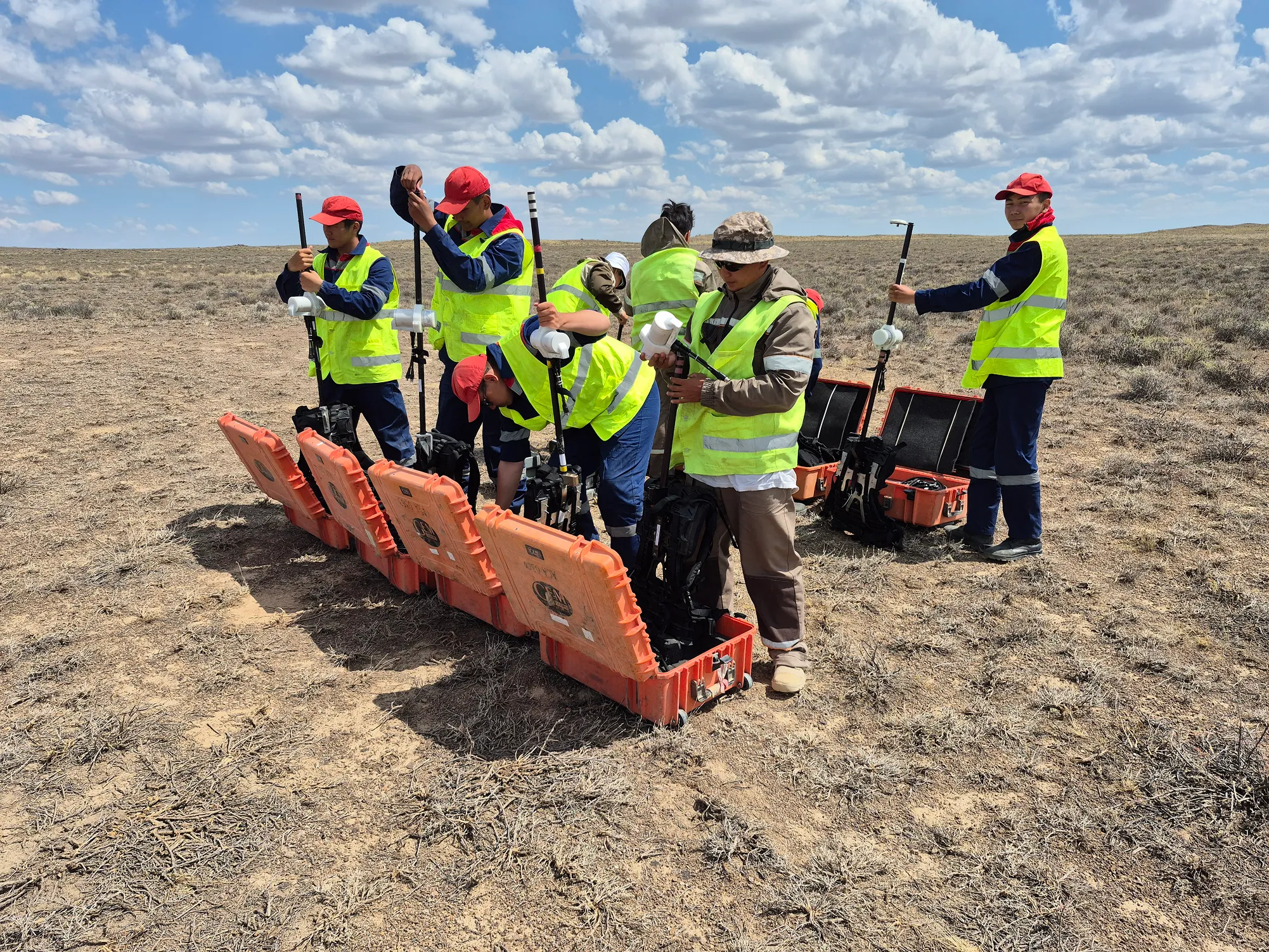
Ground magnetic survey.
Magnetic surveying is one of the key methods of geological exploration, allowing the identification of geological structures, faults and potential ore zones without drilling.
We carry out surveys using Overhauser magnetometers GSM-19W (GEM Systems, Canada) – world-class equipment that provides high accuracy and stability of measurements even in difficult field conditions.
Result for the customer:
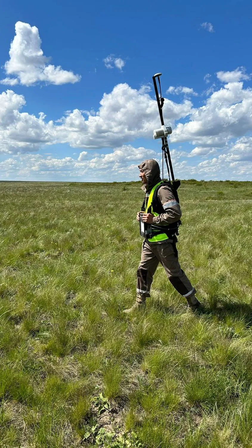
Unmanned magnetic survey.
UAV magnetic survey is a modern geophysical research method that allows you to quickly identify geological structures, faults, dikes, lithological contacts and potential ore zones with high data detail.
We carry out surveying using a highly sensitive GEM Cardinal GSMP-20U(B) potassium magnetometer mounted on a DJI Matrice 400 unmanned platform. This equipment provides high measurement accuracy, minimal orientation error and stable operation even in difficult field conditions.
Result for the customer:
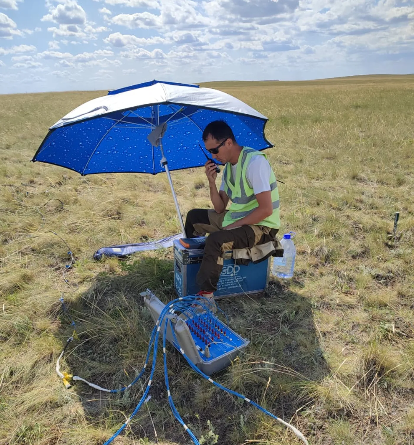
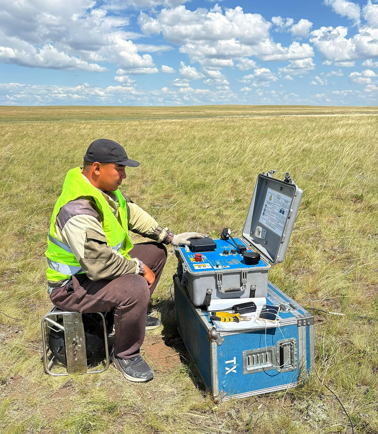
Induced polarization (IP).
The IP method is used to identify chargeability and resistivity anomalies often associated with porphyry copper, gold and polymetallic targets at depths up to 500 m.
The work is carried out using modern equipment from GDD Instrumentation (Canada).
Vector IP is a modern modification of the IP method, effective in geologically difficult conditions.
The method allows for the identification of heterogeneous and disseminated mineralization and is widely used in the early stages of exploration.
Result:
More accurate understanding of the shape, depth and distribution of ore bodies.
Passive seismic is used to determine the thickness of unconsolidated sediments and the depth of bedrock.
We use high-precision seismometers TROMINO® (MOHO S.R.L., Italy), which allows us to quickly and economically obtain data on the structure of the section.
Use:
Aurora performs geophysical planning, quality control (QA/QC), processing, modeling and interpretation of data with the preparation of recommendations for further exploration.
We use specialized software:
Result:
Interpreted data suitable for making management, investment and technical decisions.
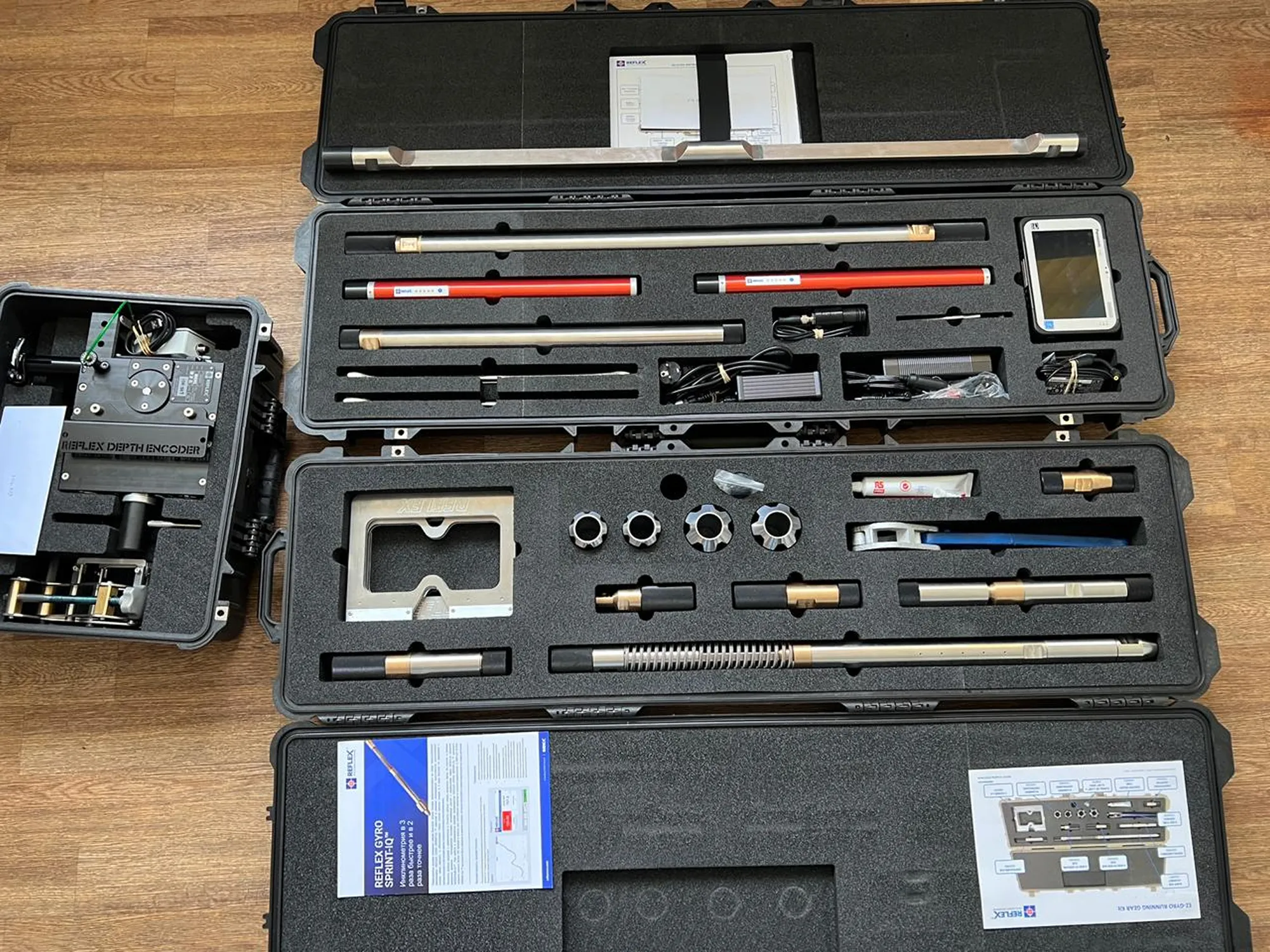
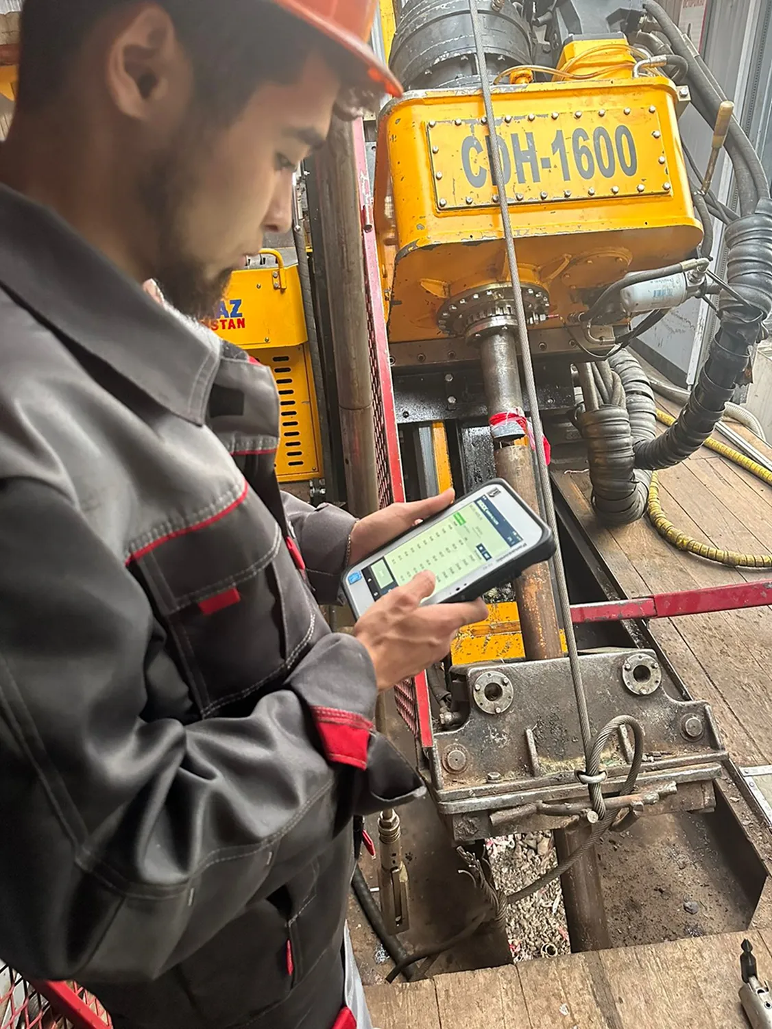
We perform highly accurate well deviation measurements using the REFLEX GYRO SPRINT-IQ™ (Australia), one of the most accurate gyroscopic tools in the industry.
Result:
Accurate understanding of well trajectory and correct interpretation of drilling data.
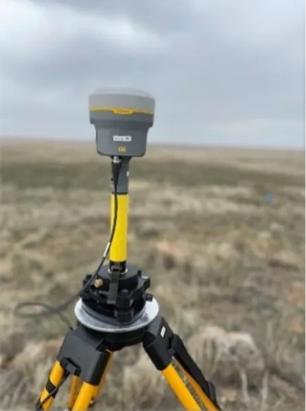
Topographic work is carried out using high-precision DGPS equipment Trimble R12 (USA) and Leica GS14 (Switzerland), providing accurate spatial reference of geophysical and geological data.